While national borders and boundaries are usually well-established, small, remote islands can fall through the cracks. Desired for fishing and oil drilling rights, military access, or simply national pride, a number of these disputed isles are causing territorial clashes around the world. The very public battles over islands like Taiwan and the Falklands are familiar to many, but these smaller conflicts may be surprising.
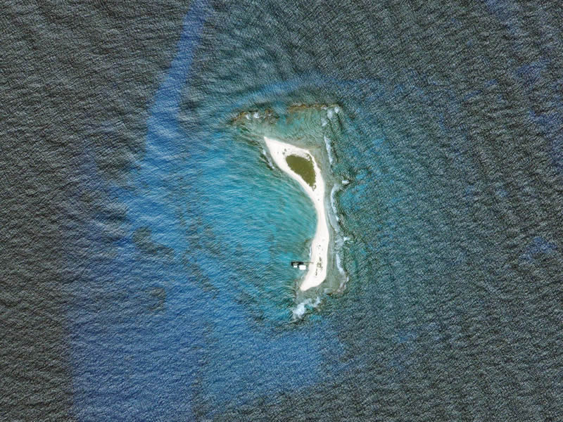
Technically considered a Caribbean dependency of Venezuela, Isla de Aves, or Island of Birds, is a barren crescent of sand and coral; just 375 m in length, and at the widest, 50 m. During hurricanes, the isle can be entirely submerged, and has been eroding away at a steady clip since its discovery in the 16th century. It is interesting that in this case, the object of desire is the surrounding water, rather than Isla de Aves itself. The debate rests on a question of nomenclature; the UN classifies it as a “rock”, giving Venezuela a mere 12-mile Exclusive Economic Zone for fishing, drilling and other uses – whereas the country insists it is a true island, which would entitle it to a 200-mile zone. Many countries with a vested interest in using this territory, like Barbados, Dominican Republic and the Netherlands, all take issue with this loose interpretation of “island”.
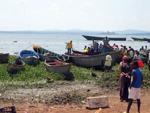
On April 27th of 2011, it was reported that Uganda had seized the uninhabited Kenyan island of Ugingo, and that the military had begun constructing makeshift housing, preparing for what looked like a lengthy stay. Previously considered to be undisputedly on the Kenyan side of Lake Victoria, this move by the Ugandan military was just the latest volley in a long conflict over the fishing-rich territory. The central battle is over the populated one-acre island of Migingo, which satellite imagery has shown to be within Kenyan territory. Despite this, Uganda has attempted to claim that island using accusations that Kenyans are using it to fish in their waters, or that their police are required on the island to keep “law and order”. The tiny island is home to just 140 transient fishermen, four pubs, and one brothel.
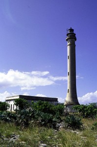
It can be difficult to understand how an uninhabited piece of rock could cause a dispute lasting over 150 years, but in the case of Navassa Island, there is no end in sight for the USA/Haiti conflict. Located just 90 nautical miles from Guantanamo Bay, the island is strategically located for the US military, and currently under the dominion of the US Fish and Wildlife Service as an unincorporated territory. Haiti, which has enshrined ownership of the island in their constitution, has claimed it since 1801. The battle began in 1856, when Navassa was claimed for the USA under the little-known Guano Islands Act, which enabled citizens to seize uninhabited isles that contained the rich fertilizer. While it may sound surprising, this is one of a large number of territorial conflicts waged mainly over bird droppings.
A vast swath of sea containing more than 750 reefs, atolls, and islands, the Spratlys lay in the South China Sea between the Philippines and the Chinese mainland. While they have no native populations and little actual landmass, the islands are viewed as geopolitically significant and the underlying seabed is thought to contain large reserves of oil and natural gas. Recently, China, who claims the entirety of the S.C. Sea, announced that it would be stepping up its military presence in the islands, which led to a Philippine protest at the United Nations. To further complicate matters, Vietnam, Malaysia, Taiwan and Brunei have also made claims to some of the islands, establishing small military outposts of their own.
In November of 2010, the citizens of Costa Rica awoke to shocking news – Isla Calero, the largest island in the country, was being occupied by Nicaraguan troops. When an explanation was demanded by the Costa Rican government, the response they received left the country stunned – Nicaraguan authorities were claiming that after viewing the border on Google Maps, the online program clearly showed that the island belonged under their domain. The conflict cooled and Nicaragua’s military was ordered from the Isla Calero after a public apology by Google, who corrected the error on the map and issued a disclaimer that “Google Maps is a tool that should only be used for entertainment purposes and should not be used to make territorial, political or military decisions.”
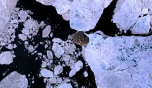
Hans Island, known to the native Inuit as Tartupaluk, is a rocky outcropping found in the Nares Strait separating Greenland from Ellesmere Island. After a mission to map the region in the 1970’s, a disagreement over who possessed the island was resolved through the signing of a mutual co-operation agreement. However, Danish paranoia was sparked when a Canadian petroleum company was found to be researching Hans in the early 1980’s. In the post-9-11 world, a renewed focus was brought to protecting Canada’s northern territories in the interest of national defense, and in 2004, the battle for Hans Island exploded into the media. Since its inception, the Canadian/Danish skirmish has been primarily waged through naval boat visits, the planting of flags and bottles of local liquor (Canadian Club and aquavit) on the island by their respective soldiers, and in recent years, a proliferation of Google ads claiming the island for each country.


